was decided on at the initial stage of the project. The aim was
to gather early information on the site conditions and optimize
the investigation's subsequent phases based on the results.
40 to 60 m deep, were drilled at selected locations to identify
the nature and quality of the founding rock across the project
area. Piezometers were installed to identify the depth of water
and monitor its fluctuation during the investigation period.
An advanced "integral coring" technique was also applied at
specific locations within the founding rock. The purpose of the
technique was to precisely determine the level of rock fracturing
as well as the orientation of the rock discontinuities in depth.
excavation shows (see figure 1), 25 to 35 m-high sub-vertical cut
slopes were performed at the site boundary, coupled with a
challenging, relatively narrow 3 to 5-m wide setback between the
outer face of the basement walls and the site limit.
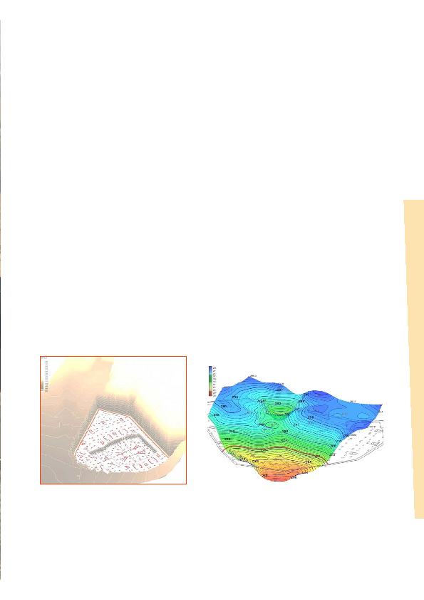
revealed that most of the towers will be founded directly on the
sound bedrock, while the towers at the southern part of the site
will be on the decomposed rock.
(pink area in figure 3). Locally, and where the sound rock was
identified at a lower level than the structural foundation, we
decided to remove the weak materials and replace them with