
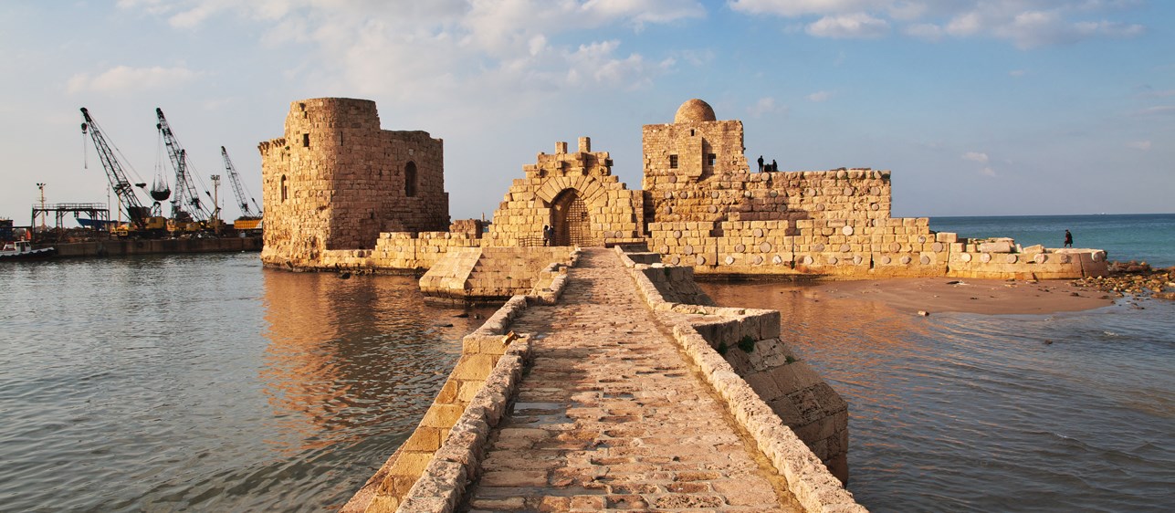
Location
Saida, Lebanon, Middle East
Overview
Dar designed and supervised the construction of a commercial port in Saida, designed to serve the transhipment industry, provide up-to-date services, and provision free trade and industrial zones.
At a glance
4 km
of main and lee breakwaters
2 km
of quay walls
11.5 ha
free industrial zone
44 ha
container terminal
13 ha
multipurpose terminal
Services
The project
Finalising the master plan and conducting studies
Dar’s team first reviewed the master plan and finalised the port layout, including the requirements and dimensions for the access channel to the port (width and depth) and the turning area.
The team also carried out a number of studies to inform the design, including:
1. Topographic, bathymetric, and hydrographic surveys: These studies covered the whole port area, extending about 500 m from all sides to identify the impact of the seabed topography on the design of the port. ADCP techniques are used to measure wave, tide and current data.
2. Geotechnical studies: Onshore and offshore surface investigations were conducted by drilling boreholes to a depth of 50 m below the seabed. Sampling and in situ testing were performed at regular intervals to assess the carrying capacity of the seabed material and estimate the associated settlement.
3. Hydraulic studies: Mathematical model studies were also used to predict the inshore wave climates and wave agitation in addition to ship simulation and manoeuvring as well as sedimentation in the vicinity of the port.
4. Environmental impact assessment: Based on the World Bank Operational Directive OD4.01, the assessment included analysis of the proposed port development, geographic location, geology and geomorphology, bathymetric survey, oceanography, seismicity, marine biology, coastal zone management planning and legislation, environmental legislation, feasibility study of the port development, type and quantity of construction work and materials, dredging, and archaeology. The environmental management plan included the implementation analysis for the works, port operations, monitoring and reporting procedures, and the establishment of an environmental implementation unit.
Designing the port
Based on the results of the studies, Dar’s team proceeded to design the port, including its marine facilities, infrastructure, and associated buildings
- Marine facilities
The marine structures included breakwaters with a total length of about 4 km and quay walls with a total length of about 2 km. The works also comprised dredging and reclamation of approximately 1,200,000 m2, and slope protection works. - Infrastructure
The infrastructure designed for the Saida Port included a power plant, water tanks, waste treatment plant, fuel station, roads, and all associated infrastructure serving the terminals, the buildings, and the various zones, including the reserved area (5 ha), the free trade zone (8 ha), the free industrial zone (11.5 ha), and the services and customs area (12 ha). The team also provided designs for 3.5 ha of landscaping. - Terminals and onshore facilities
Dar also designed a container terminal (1,300 m2) and a multipurpose terminal (600 m2), and other buildings within the port, along with all associated electrical and utility infrastructure.