
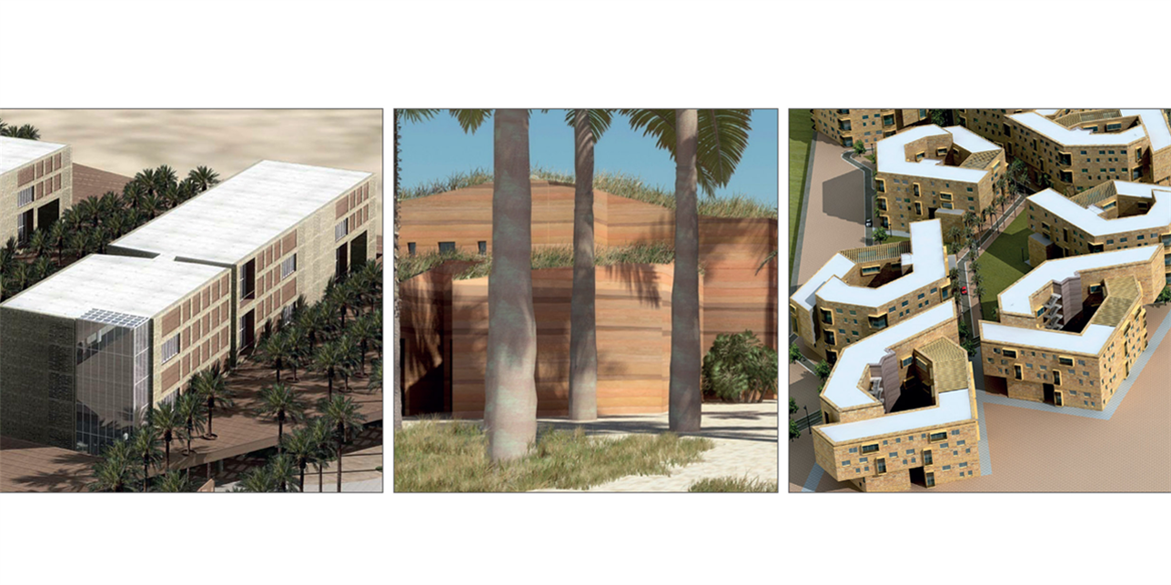
Sabah Al-Salem University City in Kuwait is one of the projects fully developed by Dar Al-Handasah.
It was completed with the collaboration of all the departments. Composed of five separate
yet interdependent buildings, the city forms part of the Kuwait University system.
When it came to wayfinding, Dar’s Environmental Graphic Design (EGD) unit designed a fluid,
modern plan that seamlessly integrates the architecture with the surrounding natural environment.
RESEARCH AND ANALYSIS
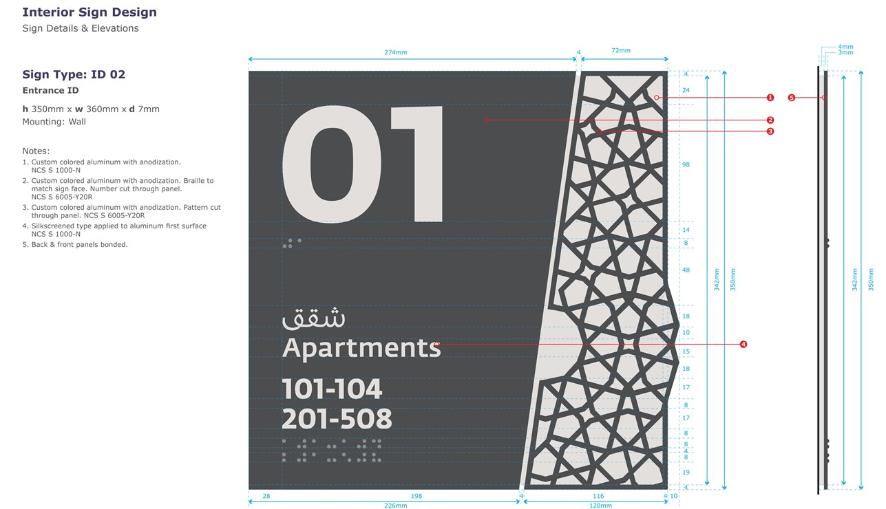
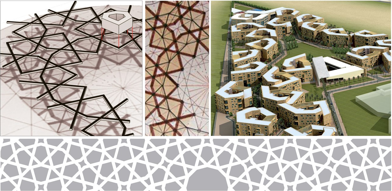
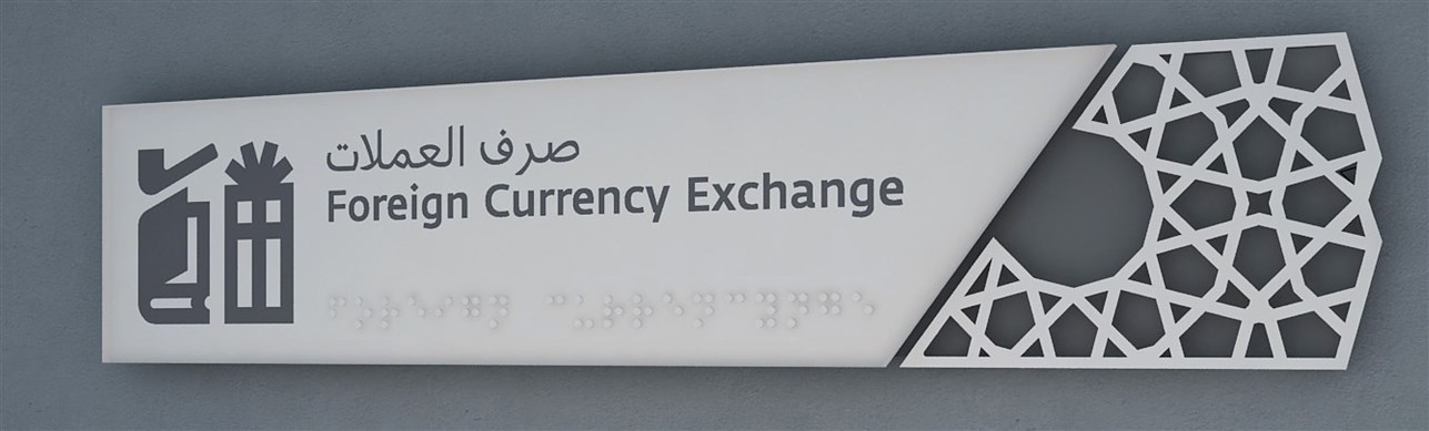
We aimed to preserve a sense of harmony and unity throughout the project while giving each facility a distinctive element that guided and informed visitors on their path. The wayfinding plan remained true to this concept from the exterior. It created a unique and complementary sense of place in the interior through signage and zoning. We also drew out patterns from architecture and applied them in sign design.
SCHEMATIC DESIGN
In this parcel, the arabesque theme from the original architecture was expanded on, with signage carefully chosen based on material and color. The signs then are not just there to guide users of the building; they also become decorative elements in the interior.
STRATEGIC PLANNING
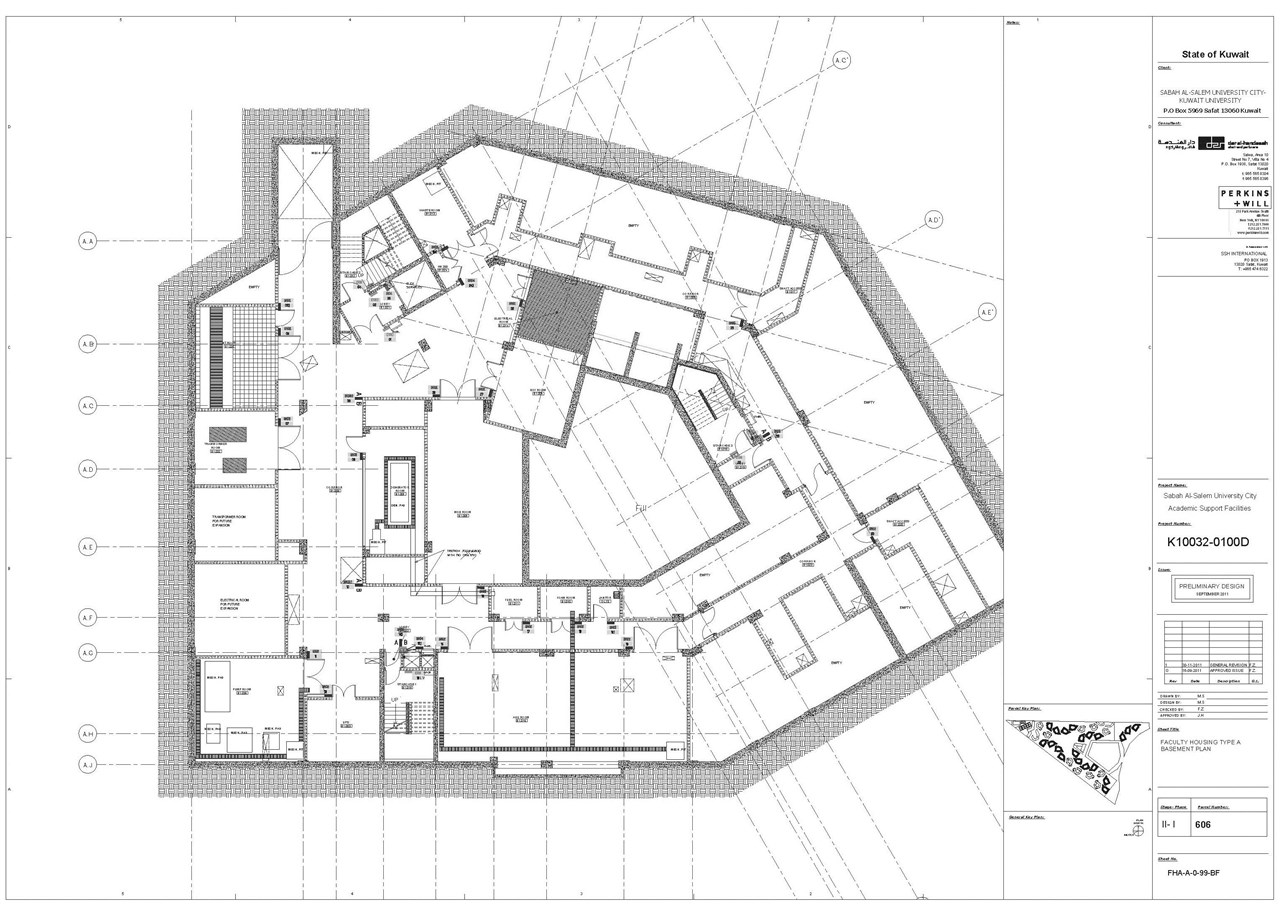
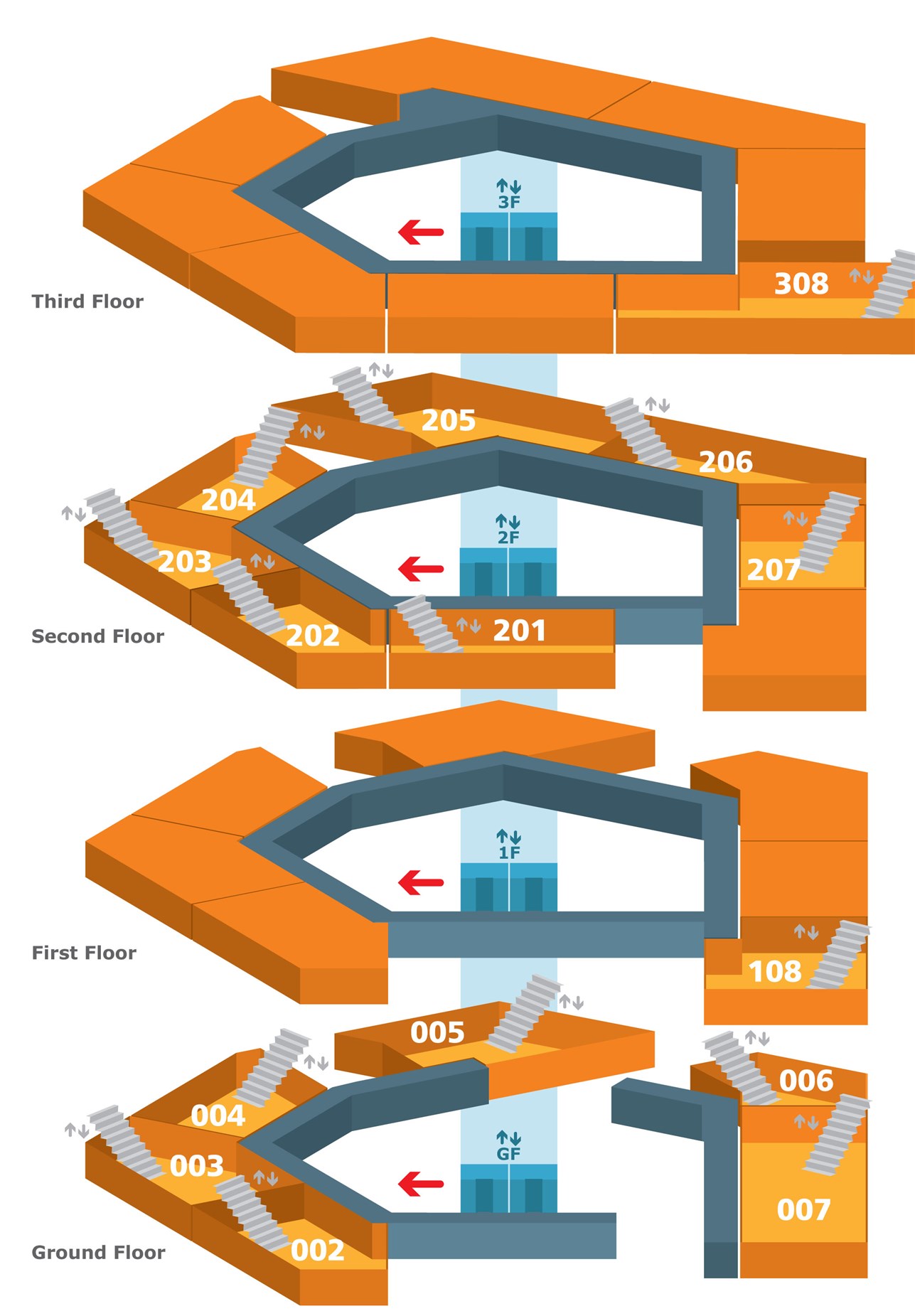
Circulation refers to the way people move through and behave in relation to the surrounding space. Plans were put into place in Sabah Al-Salem University City to allow for a maximum flow of movement both horizontally, between the interior and exterior, and vertically, through stairs and elevators.
DESIGN DEVELOPMENT
After creating a pattern inspired by the architecture, the EGD unit designed a sign family and accordingly chose the aluminum material it would be produced in. A complementary typeface for Latin and Arabic matched with Braille was adopted, and arrows and pictograms were also developed for corresponding signs. All the data was then compiled in the Signage Standard Manual.
STRATEGY DEVELOPMENT AND PROGRAMING
The location of each individual sign with the message and graphics it carried was specified on the architectural plans and modified in accordance whenever any structural changes took place. By the time the project was ready for launch, plans for the signs’ locations had been finalized and matched with a message schedule. Final deliverables included: Signage Standard Manual, sign design details, translation list, sign message schedule, sign type list, and bill of quantity.
Images
0 of 0
of